Land Surveying and Mapping
Land Surveying and Mapping
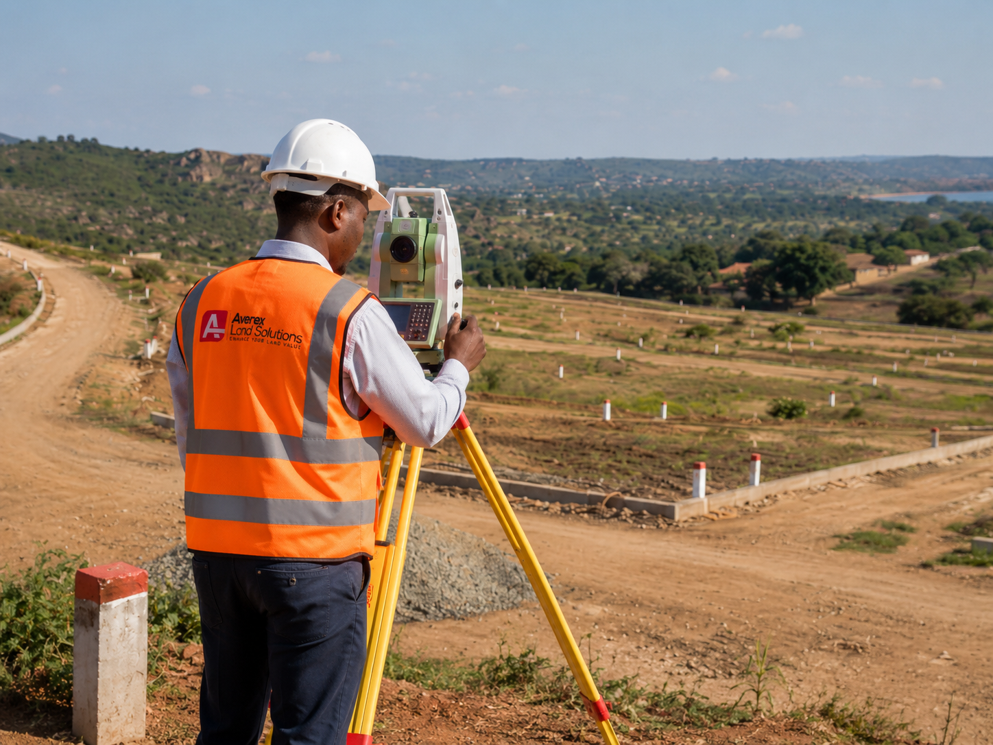
Boundary and topographical survey coordination
Coordinate the right survey inputs so clients understand boundaries, levels, site constraints and development implications.
- Typical client
- Land owners, buyers, developers and project teams.
- Expected process
- Review the site requirement, coordinate qualified survey input, organise findings and advise on practical next steps.
- Required client information
- Location, available title or offer documents, site access details and intended development use.
Land measurements
Support land-size confirmation and practical measurement work for planning, sales and development decisions.
- Typical client
- Sellers, buyers, estate teams and developers.
- Expected process
- Confirm the measurement objective, coordinate field or document checks and present usable figures for decision-making.
- Required client information
- Stand or lot number, current documents, location and any existing diagrams or survey records.
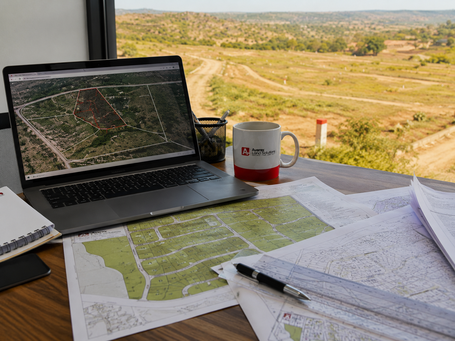
Mapping
Prepare and coordinate mapping information that helps clients understand location, access, surrounding land uses and site potential.
- Typical client
- Developers, investors, project managers and property owners.
- Expected process
- Gather site information, review map context, mark relevant constraints and package the output for planning discussions.
- Required client information
- Pin location, nearby landmarks, site plans, access details and intended use.
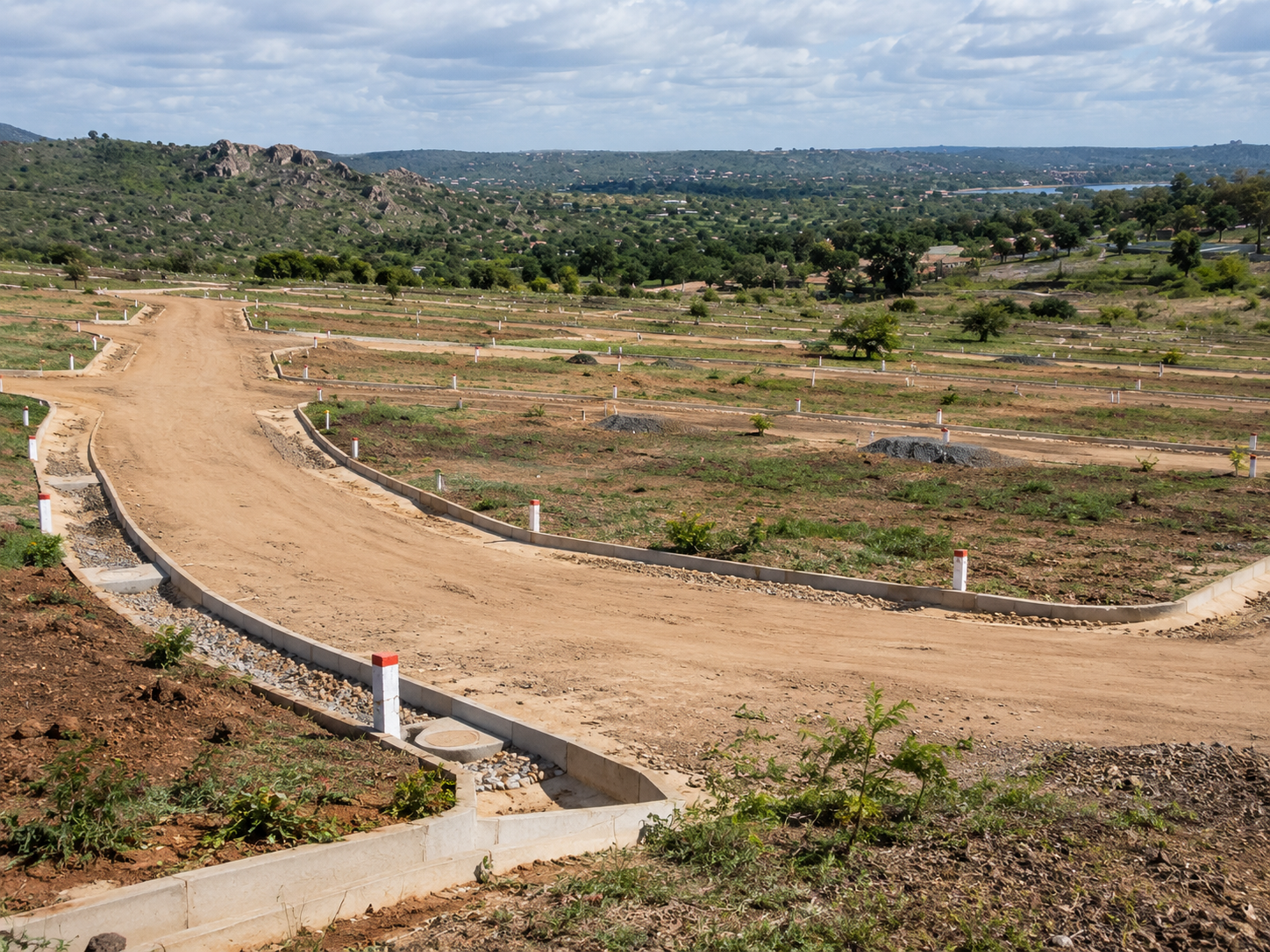
Stand and site calculations
Help structure land calculations for stands, layouts, potential subdivisions and development planning.
- Typical client
- Land developers, stand sellers and planning teams.
- Expected process
- Assess available site information, coordinate technical checks and prepare calculation support for the planning path.
- Required client information
- Site area, layout ideas, planning objective, existing diagrams and local authority context where available.